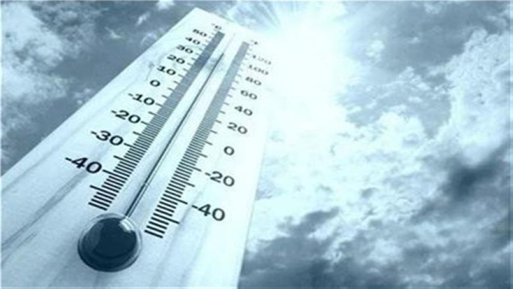
The National Center for Meteorology, in its daily weather report for Saudi Arabia, predicted continued chances of thunderstorms and active winds that will stir up dust and sand. This weather pattern will affect several vital regions, necessitating caution. The forecast includes parts of the Eastern Province, Riyadh, Qassim, Madinah, Makkah, Al-Baha, Asir, Jazan, and Najran. These storms may be accompanied by hail, which could directly impact horizontal visibility on open and highways.
Climate context: Typical weather fluctuations in the Kingdom
The Kingdom of Saudi Arabia is characterized by a wide climatic and geographical diversity, making it susceptible to significant weather fluctuations during the transitional periods between seasons. Historically, the Arabian Peninsula experiences low-pressure systems at such times of year, leading to the formation of cumulonimbus clouds. These natural phenomena are not new; rather, they are an essential part of the climatic cycle, contributing to the replenishment of groundwater resources and revitalizing vegetation in both desert and mountainous regions. These changes play a vital role in maintaining the ecological balance of the region.
Expected effects from thunderstorms and strong winds
These weather changes are of great importance and have tangible effects both locally and regionally. Locally, dust-laden winds affect land navigation and require drivers to exercise extreme caution to avoid traffic accidents caused by reduced visibility. Heavy rainfall and flash floods may also affect infrastructure in some valleys and low-lying areas. Regionally, wind patterns and air masses influence weather stability in neighboring countries, making continuous coordination among meteorological centers in the Gulf states crucial to ensuring the safety of air and sea navigation.
Maritime navigation conditions in the Red Sea
The report detailed the conditions in the Red Sea, noting that surface winds are northwesterly to northerly in the northern and central parts, and southerly to southeasterly in the southern part. Wind speeds range from 10 to 35 km/h, reaching up to 48 km/h towards the Bab el-Mandeb Strait. Wave heights range from half a meter to one and a half meters, potentially reaching two meters towards the strait, resulting in a slight to moderate sea state. This requires caution from fishermen and other seafarers.
Weather developments in the Arabian Gulf
Regarding the Arabian Gulf, forecasts indicate northerly to northwesterly surface winds at speeds ranging from 20 to 45 km/h, potentially reaching 50 km/h with the formation of thunderstorms and rain over the northern and central parts. Meanwhile, winds will be northwesterly to westerly over the southern part at speeds of 12 to 38 km/h. Wave heights will range from one to one and a half meters, reaching two and a half meters during thunderstorms. Sea conditions will be moderate to rough in the north and central regions, and slight to moderate in the south.
Special alerts for the Eastern Province
The National Center for Meteorology issued specific warnings regarding light to moderate rainfall in parts of the Eastern Province, specifically the Al-Ahsa and Buqayq governorates. This rainfall is expected to begin at 2:00 PM and continue until 11:00 PM. The rain will be accompanied by strong surface winds, reduced horizontal visibility, and the possibility of thunderstorms. Residents are advised to follow safety guidelines issued by official authorities and the Civil Defense.