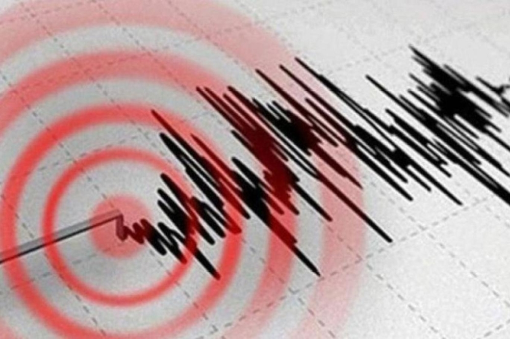
Taiwan's Central Weather Bureau announced on Wednesday that a strong earthquake measuring 6.1 on the Richter scale struck the southeastern part of the island, specifically Taitung County. Despite the strength of the tremor, there have been no immediate reports of significant damage or casualties, reflecting the effectiveness of the infrastructure in handling such disasters.
Details of the Taiwan earthquake and its location
According to official data from the Meteorological Department, the earthquake struck at 17:47 local time (09:47 GMT). The epicenter was located at a relatively shallow depth of 11.9 kilometers, which explains why the tremors were felt most strongly in areas near the epicenter. Shallow earthquakes typically have a greater impact on the surface than deep earthquakes, but the epicenter's location in a less densely populated area may have mitigated the risk.
Why does Taiwan experience so many earthquakes?
Taiwan is one of the most seismically active regions in the world, due to its strategic geographic and geological location. The island lies near the intersection of two major tectonic plates: the Philippine Sea Plate and the Eurasian Plate. This location places Taiwan directly on the Pacific Ring of Fire, a long arc of volcanic and seismic activity that encircles the Pacific Ocean basin.
Historically, Taiwan has experienced devastating earthquakes, most notably the 1999 earthquake that killed more than 2,400 people, and the more recent Hualien earthquake in April 2024. These events have prompted the Taiwanese government to develop strict building codes and advanced early warning systems, making it a global model in disaster risk reduction.
Global seismic activity increased in 2025
This event comes within a broader context of a global increase in the frequency of daily earthquakes since the beginning of 2025. Notably, these tremors have intensified and spread across diverse geographical locations, with powerful earthquakes exceeding magnitude 6 being recorded in multiple regions, including Asia, South America, and the Mediterranean basin.
Types of earthquakes and their scientific classifications
In the context of geological awareness, scientists classify earthquakes based on their causes into several main types:
1. Tectonic earthquakes: These are the most common and occur as a result of the movement, slippage, and collision of tectonic plates along fault lines.
2. Volcanic earthquakes: These are directly linked to volcanic activity, where the movement of magma underground generates powerful vibrations.
3. Induced earthquakes: These are tremors resulting from human and industrial activities, such as the construction of large dams, the extraction of natural resources, or construction blasting operations.
Geological studies indicate that the rate of major earthquakes (magnitude 7 and above) has remained relatively constant over the decades, but technological development and the speed of information transfer have contributed to increasing global awareness and monitoring of small and medium earthquakes that may be related to human activity and energy extraction.