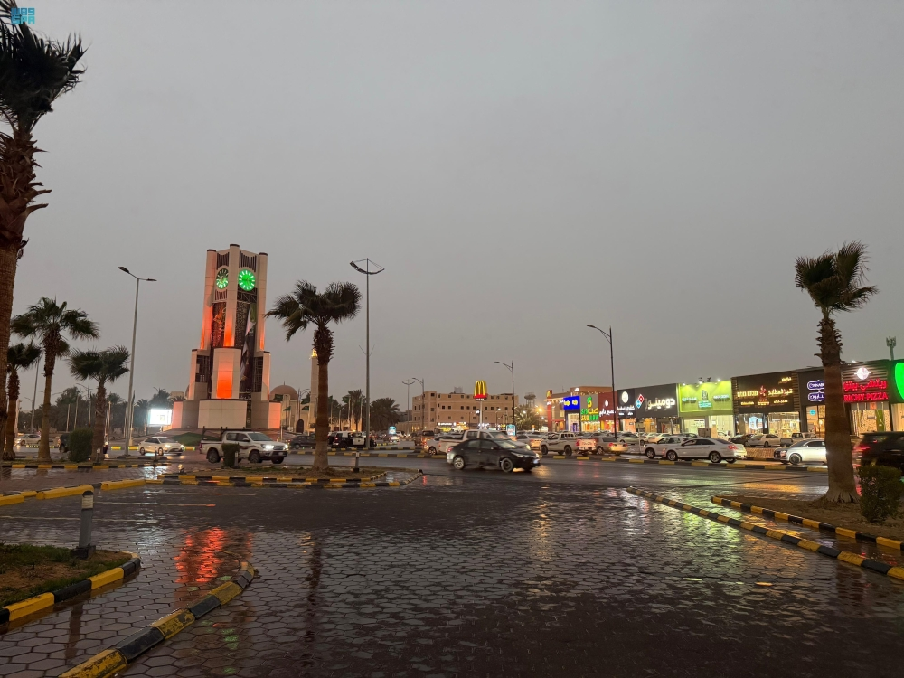
The National Center for Meteorology in Saudi Arabia issued its daily weather report for Saturday, indicating unstable weather conditions affecting several regions of the Kingdom. The center stated that there remains a chance of light to moderate thunderstorms, accompanied by strong surface winds and reduced horizontal visibility.
Map of expected rainfall and wind
According to weather data, the chances of light to moderate thunderstorms are concentrated over parts of the Northern and Eastern Borders . Light rain is also expected in parts of the Madinah, Makkah, Al-Baha, and Asir . This variation in rainfall is due to the Kingdom's vast geographical area and its exposure to different weather systems simultaneously.
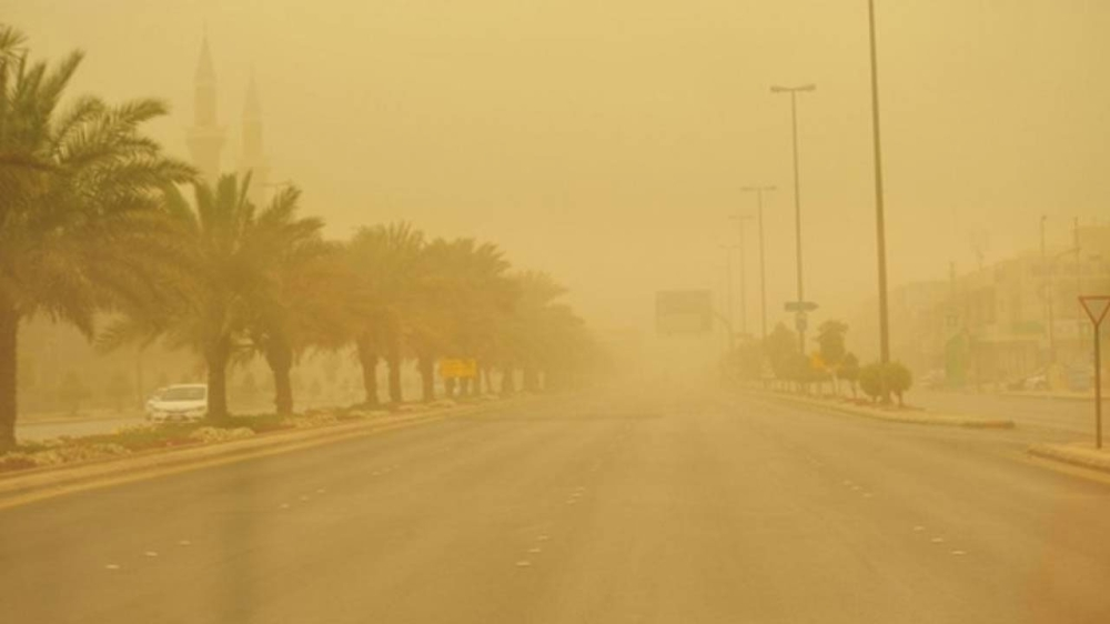
Regarding wind patterns, the report indicated the continued impact of active winds stirring up dust and sand, which may reduce horizontal visibility on highways and in open areas. Areas affected by these winds include parts of:
- AL Madinah AL Munawwarah
- Tabuk
- Al-Jawf
- Northern borders
- Hail
- Al-Qassim
- Northern parts of the Riyadh region
The center also warned of the possibility of fog forming during the night and early morning hours in parts of the aforementioned areas, which calls for caution and vigilance while driving.
State of the Red Sea and the Arabian Gulf
The National Center for Meteorology's report included a detailed overview of the state of the water bodies, with the forecasts as follows:
Red Sea
- Surface winds: Northwesterly to northeasterly on the northern and central parts at a speed of 20-50 km/h, and southwesterly to southeasterly on the southern part at a speed of up to 50 km/h towards the Bab al-Mandab Strait.
- Wave height: It ranges from one to two meters, and may exceed two and a half meters in the northern and central parts.
- Sea state: Moderate to rough in the north and center, and slight to moderate in the south.
Arabian Gulf
- Surface winds: Southerly to southeasterly, turning northwesterly in the evening over the northern part, and southwesterly to southeasterly in the center and south.
- Wave height: from one to two meters in the north, and from half a meter to one meter in the center and south.
Climate context and the importance of warnings
These weather fluctuations are occurring during transitional periods in the Kingdom's weather, which are typically characterized by rapid changes in atmospheric pressure, leading to increased wind activity and the formation of thunderstorms. These reports are of paramount importance for the safety of citizens and residents, especially those traveling on highways connecting different regions, as well as fishermen and those at sea.
In such circumstances, the relevant authorities always call for the need to follow official weather bulletins, stay away from flood channels and valleys in rainy areas, and take precautions when driving in areas experiencing dust or fog in order to preserve public safety.