The National Center for Meteorology issued its daily weather report for Saturday, revealing a state of atmospheric instability affecting large areas of the Kingdom. The report indicates continued chances of thunderstorms ranging from moderate to heavy, urging citizens and residents in the affected areas to exercise caution.
Rainfall map and affected areas
According to weather forecasts, the rainy weather will be accompanied by hail and strong winds that will stir up dust and sand, potentially reducing horizontal visibility and causing flash floods in valleys and ravines. The areas expected to be affected by this heavy rainfall include parts of:
- Medina region.
- Al-Qassim region.
- Hail region.
- Tabuk region.
- Al-Jawf region.
- Northern Border Region.
- Eastern Province.
- The northern parts of the Riyadh region.
In contrast, parts of the Makkah and Al-Baha regions are experiencing light to moderate rainfall. The center also warned of the possibility of dense fog forming during the night and early morning hours, which could negatively impact visibility in parts of the aforementioned regions, as well as the southwestern highlands of the Kingdom.
Context of the weather situation and the importance of warnings
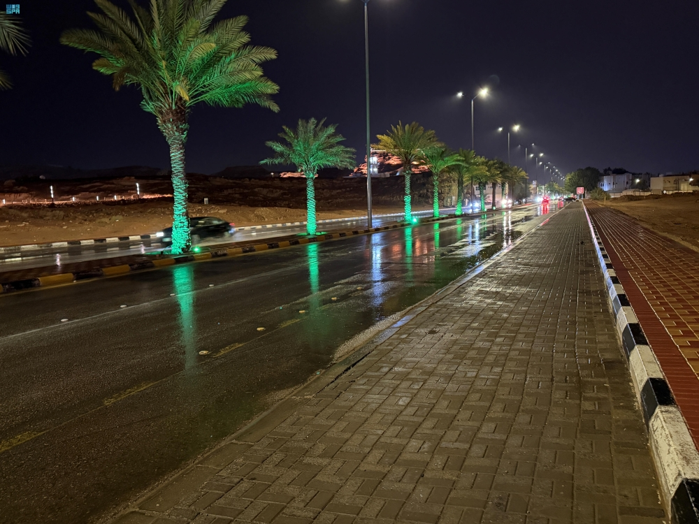
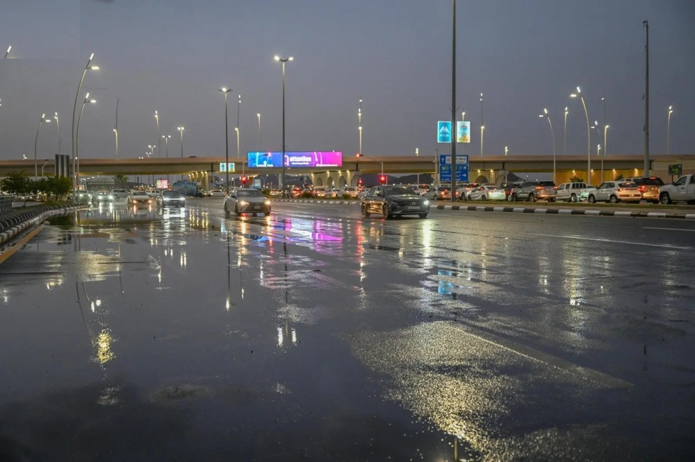
These weather fluctuations are part of the typical climate patterns of Saudi Arabia, where the country is affected by low-pressure systems that contribute to the formation of cumulonimbus clouds and thunderstorms. These forecasts are of paramount importance due to their direct impact on daily life and traffic, especially on highways and in open areas. Authorities consistently emphasize the need to stay away from wadis and floodplains in such conditions, as heavy rainfall poses a real danger that could lead to vehicles being trapped or swept away.
State of the Red Sea and the Arabian Gulf
Regarding maritime navigation, the National Center of Meteorology explained the details of wind and wave movement as follows:
Red Sea
- Surface winds will be southwesterly to northwesterly in the northern and central parts, shifting to southeasterly and southwesterly in the southern part. Wind speeds will range from 20 to 40 km/h, and may reach 50 km/h with thunderstorms.
- Wave height: It ranges between one and two meters, and may reach two and a half meters in the event of thunderstorms and rain over the northern and central parts.
- Sea conditions: The waves are described as light to moderate, turning turbulent with thunderstorms.
Arabian Gulf
- Surface winds: Southeasterly to southwesterly winds at a speed of 20-40 km/h, with gusts reaching 50 km/h with the formation of thunderclouds over the northern part.
- Wave height: from one to two meters, reaching two and a half meters with rainy conditions in the north.
- Sea state: Light to moderate waves, becoming rough in the northern part in conjunction with thunderstorms.