The National Center for Meteorology in Saudi Arabia announced details of weather conditions in Saudi Arabia for Sunday, as the concerned authorities issued important alerts to citizens and residents regarding severe weather fluctuations, including thunderstorms and a significant drop in temperatures, in addition to the formation of fog that may impede horizontal visibility in several vital areas of the Kingdom.
According to the meteorological statement, forecasts indicate continued chances of moderate to heavy thunderstorms. These storms are expected to cause flash floods in valleys and ravines, accompanied by hail. This weather pattern is particularly concentrated in parts of the Qassim, Northern Borders, and Eastern Province regions, as well as the northern parts of the Riyadh region.
Lower temperatures and wind impact
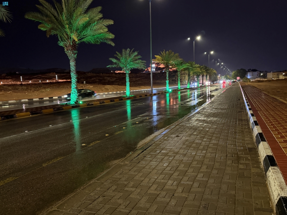
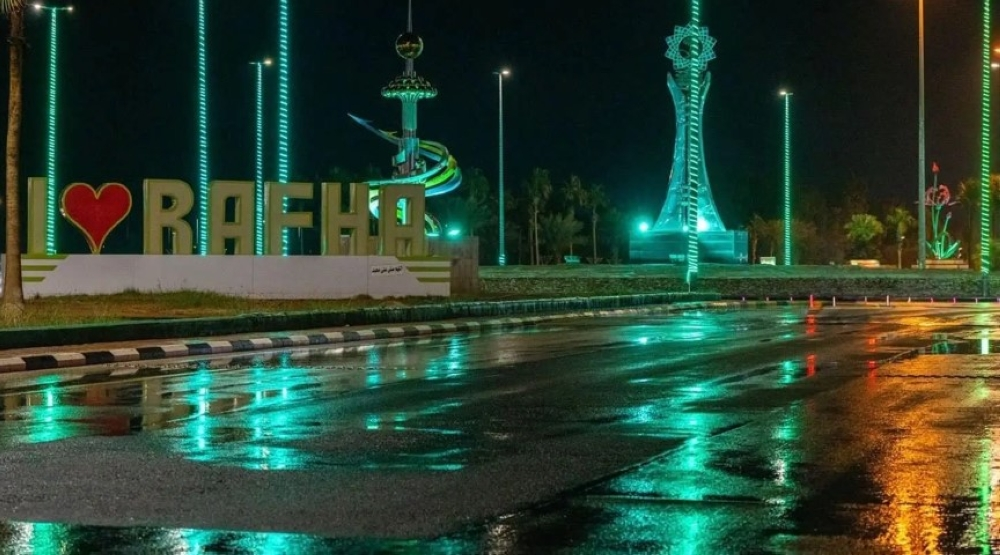
In a related context, the Kingdom is experiencing a continuous drop in temperatures, coinciding with active surface winds that are stirring up dust and sand. These winds may lead to near-zero horizontal visibility, necessitating caution while driving, especially on highways and open roads in parts of the aforementioned regions, as well as in parts of the Tabuk and Madinah regions, particularly their coastal areas.
Climate context and the importance of warnings
These weather fluctuations are part of the typical climatic patterns during seasonal transitions and winter in the Arabian Peninsula. The region is affected by the passage of low-pressure systems and cold air masses from the north, which meet with warm, humid air currents, creating atmospheric instability. These forecasts are of paramount importance due to their direct impact on daily life and travel between cities. In such conditions, the General Directorate of Civil Defense typically advises people to stay away from wadis and water bodies.
The chance of thunderstorms with rain, preceded by active winds that reduce horizontal visibility, remains high in parts of the western and southwestern regions of the Kingdom. Meteorologists also anticipate the formation of dense fog during the night and early morning hours in parts of these areas, as well as in parts of the Al-Jawf region, requiring extra caution from road users.
State of the Red Sea and the Arabian Gulf
Regarding the state of water bodies and navigation, the center explained the following details:
- Red Sea: Forecasts indicate that surface winds will be northwesterly to northerly in the northern and central parts, and southeasterly to southwesterly in the southern part, with speeds ranging from 20 to 40 km/h, potentially reaching 50 km/h with the formation of thunderstorms. Wave heights will range from one to two meters, possibly reaching two and a half meters, resulting in a moderate to rough sea state.
- Arabian Gulf: Surface winds will be southwesterly to northwesterly at speeds of 20-45 km/h, reaching up to 55 km/h with thunderstorms. Wave height will range from 1 to 2 meters, reaching up to 2.5 meters, resulting in a slight to moderate sea state, becoming rough with the development of rain-bearing thunderstorms.