A qualitative leap in serving the guests of God
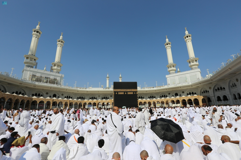
In a move aimed at enriching the experience of millions of Muslims who visit the Two Holy Mosques annually, the General Authority for the Care of the Grand Mosque and the Prophet's Mosque announced the launch of the "Interactive Smart Maps" system. The Authority's CEO, Engineer Ghazi Al-Shahrani, affirmed that this project represents a qualitative leap in spatial guidance services, as it aims to facilitate the movement of visitors and pilgrims by providing real-time information and updated routes that ensure their safety and comfort.
A historical context of continuous development
This initiative is the latest in a long series of efforts by the Kingdom of Saudi Arabia to serve the Two Holy Mosques and their visitors. For decades, the Kingdom has invested in massive expansion projects and advanced infrastructure to accommodate the growing number of pilgrims. With the dawn of digital transformation, the focus has shifted to employing cutting-edge technologies to enhance crowd management efficiency and improve service quality. Interactive maps represent the culmination of these efforts, combining precise spatial planning with real-time data to provide unprecedented guidance solutions in the holiest places on earth.
Importance and expected impact within Vision 2030
The launch of this system aligns with the objectives of Saudi Vision 2030, which prioritizes facilitating the pilgrimage for visitors to the Holy Mosques and making it safer and more convenient. Domestically, the maps will enhance the operational capacity of authorities to manage crowds efficiently, especially during peak times such as Ramadan and Hajj, thus reducing the likelihood of overcrowding and expediting emergency response. Internationally, this technology reinforces the Kingdom's leading role in leveraging innovation to serve Islamic causes and provides a model for managing massive gatherings, benefiting millions of visitors from around the world.
Advanced technical features
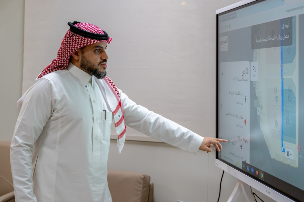
Dr. Mohammed Al-Saqr, Executive Vice President of Digital Transformation, explained that the system is capable of generating over 100,000 dynamic routes, which are automatically updated based on field traffic and crowd flow variables. The maps are fed with live data from operations rooms to automatically guide visitors to the most suitable routes in cases of road closures or heavy congestion. The system supports over 950 points of interest distributed across 13 service categories, enhanced by approximately 650 QR codes for easy access to information. Eng. Wahib Al-Mutrafi, Director of Business Solutions, added that the system is designed to support location-based reports with high accuracy and expedite access to electric vehicles for users using their ticket number, thus enhancing the system's efficiency and improving the quality of services provided.
A roadmap to the future
Al-Saqr indicated that the pilot operation of the system will begin in conjunction with the holy month of Ramadan, complementing the existing color-coding and metric addressing systems that divide the Two Holy Mosques into clearly defined geographical zones. This launch marks the beginning of a comprehensive, multi-year development project, with plans to significantly expand and enhance its use cases throughout 2026. This underscores the commitment to continuous improvement and providing a seamless and accessible spiritual experience for all visitors to the Two Holy Mosques.