The National Center for Meteorology in Saudi Arabia revealed details of the expected weather conditions for today, Sunday, indicating that significant weather fluctuations are affecting the Kingdom's atmosphere, characterized by a noticeable drop in temperatures and the formation of frost and dense fog over large areas of the country, which calls for caution and vigilance on the part of citizens and residents.
Low temperatures and frost dominate the scene
According to the center's report, the winter weather pattern continues to exert a strong influence, with temperatures remaining low and surface winds active. This drop is primarily concentrated in the northern and northwestern regions, specifically in Tabuk, Al-Jawf, and the Northern Borders. The impact of the cold air mass extends beyond these areas, encompassing parts of Hail, Al-Qassim, and Riyadh, and reaching as far as the Eastern Province.
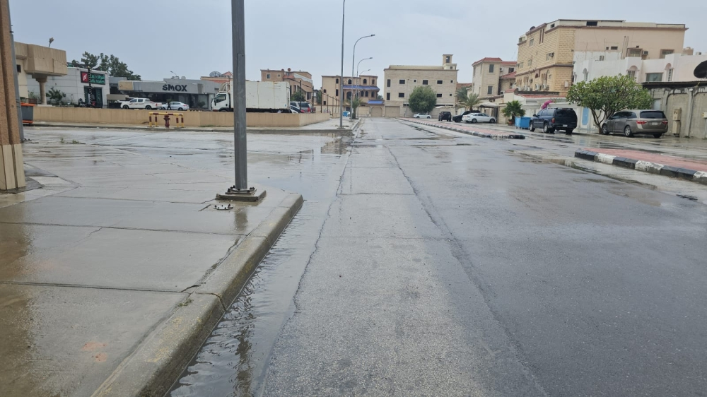
The meteorological department also warned of a high probability of fog formation during the night and early morning hours in parts of these areas, which could reduce horizontal visibility. In a related matter, frost formation is possible during the early morning hours in parts of northern Saudi Arabia, a common phenomenon at the height of winter.
Climate context and the impact of cold waves
These weather fluctuations are part of the typical winter climate in Saudi Arabia, as the country, particularly its northern and central regions, is affected by the passage of cold polar air masses from the north. The Kingdom's geography plays a significant role in temperature variations, with northern regions (such as Tabuk and Al-Jawf) being the first to experience these cold waves, resulting in the lowest temperatures compared to other areas.
Public safety alerts and weather impact
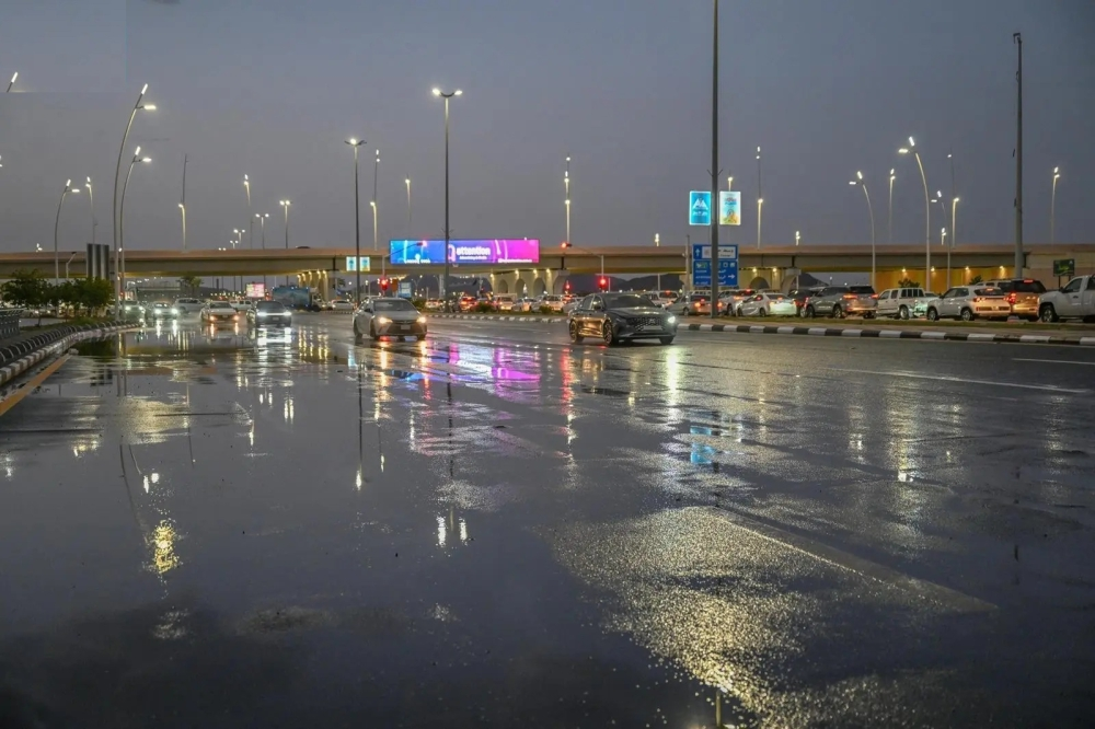
Due to the expected weather conditions, particularly fog and dust, weather experts and relevant authorities advise drivers to exercise extreme caution while driving on highways and open roads, especially during the early morning hours, and to maintain a safe following distance to avoid traffic accidents. Forecasts also indicate active winds stirring up dust and sand in parts of the Makkah and Madinah regions, which may affect those with respiratory conditions.
The state of the Red Sea and the Arabian Gulf
Regarding maritime navigation, the report detailed wave and wind movements as follows:
- The Red Sea: Surface winds will be northeasterly to northerly, shifting to northwesterly in the evening over the northern and central parts, with speeds reaching 45 km/h. Winds will be southeasterly to southerly over the southern part, intensifying towards the Bab el-Mandeb Strait to reach 50 km/h. Wave heights will range from one to two and a half meters, with sea conditions ranging from moderate to rough, especially towards the strait.
- Arabian Gulf: Active northwesterly winds prevail at speeds ranging from 25 to 50 km/h, leading to wave heights of 1.5 to 2.5 meters, and the sea state is moderate to rough.