The National Center for Meteorology in Saudi Arabia revealed details of Monday's weather forecast , indicating significant fluctuations across most regions of the Kingdom. These fluctuations range from thunderstorms in the highlands to severe cold waves affecting the northern regions, reflecting the diverse climate and geography that characterize Saudi Arabia during the winter season.
Rain and strong wind forecast
The weather report indicated that the chance of thunderstorms accompanied by active winds that reduce horizontal visibility remains high. This weather pattern is particularly concentrated over parts of the Al-Baha and Makkah , with its effects extending to the southern parts of the Madinah highlands. These rains are a result of the flow of moist air currents towards the western and southwestern highlands, a common phenomenon at this time of year, leading to the formation of cumulonimbus clouds.
Cold waves in the north and east
Temperatures are noticeably lower in the northern regions. Cold to very cold weather persists in parts of Hail, Al-Jawf, and the Northern Borders , and this drop extends to the northern parts of the Eastern Province. This is typically due to the influence of cold air masses coming from the north, prompting residents to take necessary precautions and wear heavy winter clothing, especially during the night and early morning hours.
Climatic context and topographical influence
The Kingdom of Saudi Arabia is characterized by its vast area and diverse terrain, creating significant variations in weather conditions. While the western highlands experience atmospheric instability and rainfall, the desert and exposed regions face active surface winds that stir up dust and sand. The report indicates that these winds will continue to affect parts of the Tabuk, Madinah, and Makkah regions, as well as the eastern parts of the southwestern highlands of the Kingdom, potentially impacting air quality and visibility on highways.
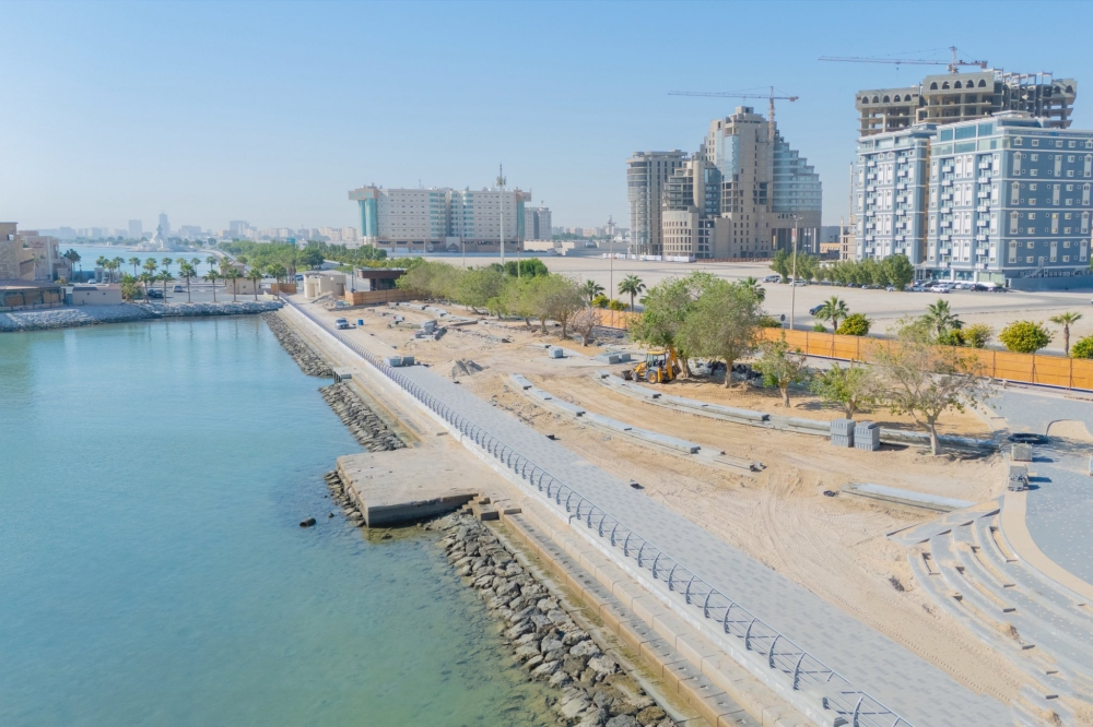
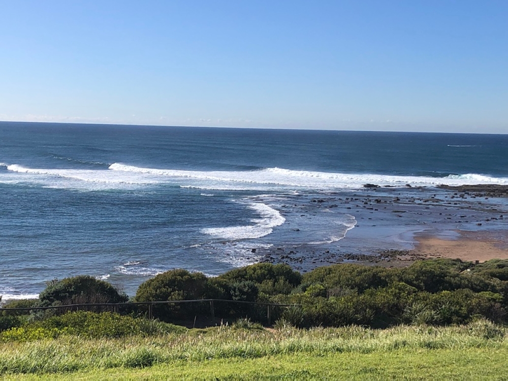
State of the Red Sea and the Arabian Gulf
Regarding the sea conditions, the Red Sea is experiencing active surface winds and the formation of rain-bearing thunderclouds, particularly in its central and southern parts, where wave heights may exceed two meters, resulting in rough sea conditions. In the Arabian Gulf, winds are northwesterly to northeasterly, with wave heights ranging from one to two meters, and sea conditions are slight to moderate.
Special alerts for the Eastern Province
The center issued a special alert for the Eastern Province regarding wind activity and blowing dust, starting at 9:00 AM and continuing until 6:00 PM. The alert covers the cities of Jubail, Dammam, Khobar, Qatif, and Ras Tanura , where reduced horizontal visibility and wind speeds reaching 49 km/h are expected. The governorates of Al-Ahsa, Al-Udayd, and Abqaiq will also experience blowing dust, reducing visibility to between 3 and 5 kilometers.
The importance of following weather forecasts
Due to these weather fluctuations, citizens and residents are advised to continuously monitor official weather forecasts and Civil Defense alerts. Experts emphasize the need for caution while driving in areas experiencing dust storms or rain, and to stay away from floodplains and valleys in rainy areas, to ensure everyone's safety.