The National Center for Meteorology in Saudi Arabia issued its daily weather report, predicting continued weather fluctuations on Friday, with several regions experiencing thunderstorms of varying intensity, accompanied by active winds that may stir up dust and sand, in addition to the possibility of fog forming on some highlands and coastal areas.
Details of the expected weather conditions
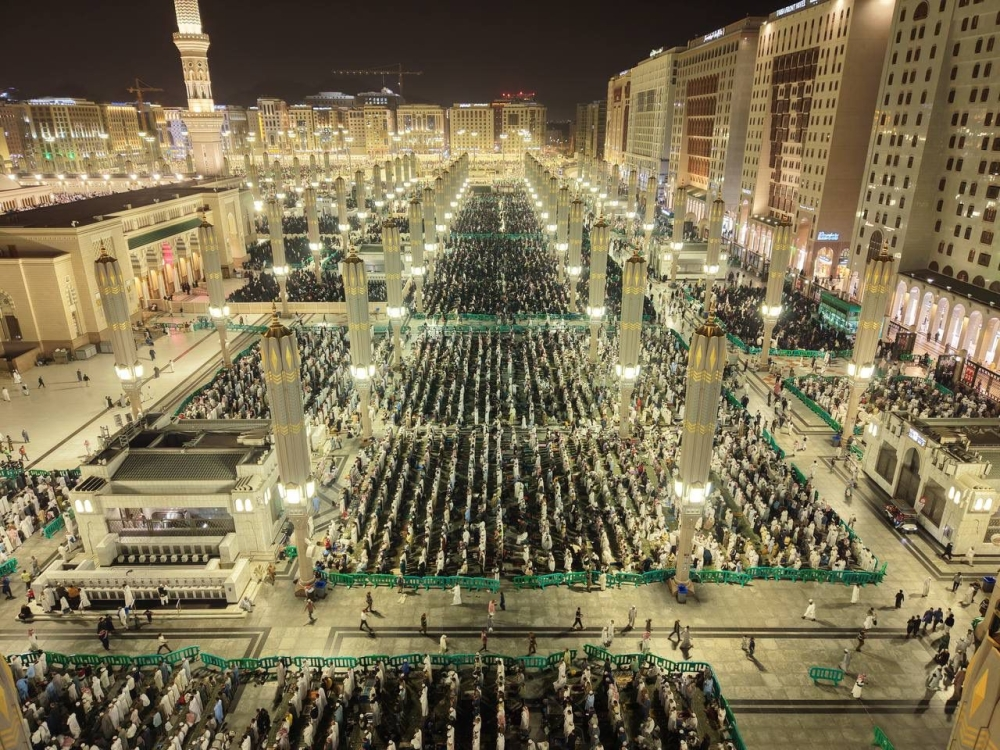
According to the center's report, there remains a chance of light to moderate thunderstorms, which may be accompanied by hail and strong winds that could stir up dust and sand. These conditions are expected in parts of the Jazan, Asir, and Al-Baha regions, extending to the highlands of the Makkah region. The center also warned of the possibility of dense fog forming during the night and early morning hours in parts of these areas, which could reduce horizontal visibility, as well as in parts of the Eastern Province.
In the north and west of the Kingdom, partly cloudy to cloudy skies are expected, with a chance of thunderstorms and rain accompanied by active winds in parts of the Madinah, Tabuk, and Hail regions. This weather pattern will extend to parts of the Al-Jawf and Northern Borders regions.
The climatic context of weather fluctuations in Saudi Arabia
These weather fluctuations are part of the Kingdom's typical climatic patterns during seasonal transitions. While Saudi Arabia is characterized by a desert climate across most of its regions, its diverse topography plays a significant role in the variation of weather phenomena. The southwestern highlands, such as Asir and Al-Baha, enjoy a semi-arid climate and receive larger amounts of seasonal rainfall compared to other areas. The Kingdom is also affected by low-pressure systems originating from the Red Sea and the Mediterranean Sea, which contribute to the formation of thunderstorms and rainfall, particularly during the winter and spring seasons.
The importance of warnings and their expected impact
These weather warnings are of paramount importance at the local level, as they directly impact public safety. Active winds can reduce visibility due to dust, posing a risk to traffic on highways. Thunderstorms can also cause flash floods in valleys and low-lying areas, necessitating caution. Economically, weather conditions affect vital sectors such as air and sea transport, agriculture, and outdoor activities. Regionally, the stability of navigation in the Red Sea and the Arabian Gulf, two strategic waterways, depends heavily on the accuracy of weather forecasts to ensure the safe passage of merchant ships and oil tankers.
The state of the Red Sea and the Arabian Gulf
Red Sea
- Surface winds: Northwesterly to northerly at 12-30 km/h over the northern and central parts. Southerly to southeasterly at 15-40 km/h, possibly reaching 50 km/h with the formation of rain-bearing thunderstorms over the southern part and towards the Bab el-Mandeb Strait.
- Wave height: from half a meter to one and a half meters on the northern and central parts, and from one meter to two meters, and may exceed two meters with the formation of thunderclouds on the southern part and towards the Bab al-Mandab Strait.
- Sea state: Light to moderate waves in the north and center, and moderate to rough waves in the south.
Arabian Gulf
- Surface winds: Northwesterly to northerly at a speed of 10-30 km/h.
- Wave height: from half a meter to one meter.
- Sea state: Light waves.