The Kingdom showcases its leadership in geospatial information management to United Nations experts
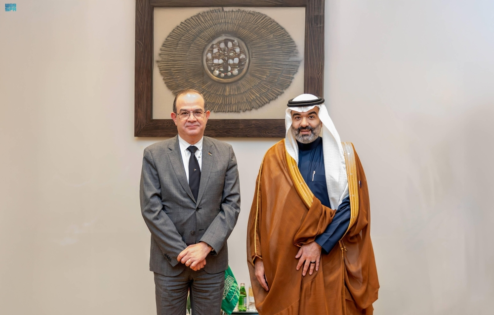
In a move reflecting its advanced global standing in digital transformation, the Kingdom of Saudi Arabia showcased its pioneering experience in measuring geospatial maturity during its participation in the 13th meeting of the Arab Committee of Experts on Global Geospatial Information Management (UN-GGIM: Arab States). This participation, led by the Kingdom and represented by the General Authority for Survey and Geospatial Information, underscored its unwavering commitment to excellence in this vital sector.
General context and importance of geospatial information
Geospatial information, which links data to specific geographic locations, is the lifeblood of sustainable development and modern planning. It is central to the work of vital sectors such as urban planning, natural resource management, disaster response, infrastructure development, and national security. Recognizing this importance, the United Nations launched the UN-GGIM initiative to promote international cooperation and establish global standards that ensure the optimal use of this data. The Arab Committee, chaired by Saudi Arabia, is working to coordinate efforts among Arab states to adopt best practices and develop their capacities in this field.
An inspiring Saudi experience within Vision 2030
The Kingdom's leadership in this field is a key outcome of Saudi Vision 2030, which prioritizes digital transformation and innovation. The establishment of the General Authority for Survey and Geospatial Information has unified efforts and regulated the sector, leading to the development of a comprehensive national geospatial infrastructure and the implementation of effective policies and governance. The Kingdom's experience in measuring geospatial maturity is not merely a technological achievement, but a comprehensive model of governance and strategic planning from which other countries in the region can benefit.
Details of the Tunis meeting and key discussions
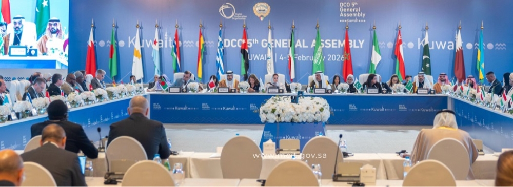
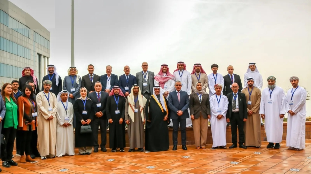
The meeting was held in the Tunisian capital on February 3 and 4, with the participation of representatives from Arab states and specialized regional and international organizations. The agenda included key topics such as the committee's annual report, contributions from international organizations, and a review of the work of specialized working groups, including the Geodetic Framework Team, the Integrated Geospatial Information Framework Team, and the Governance Team. The meeting also featured presentations on other national experiences, with Tunisia presenting its adoption of the Integrated Framework and Iraq sharing its national implementation plan, enriching the discussion and fostering the exchange of expertise.
The local and regional impact of Saudi leadership
Domestically, this leadership contributes to enhancing the efficiency of government services and supporting data-driven decision-making, which positively impacts the quality of life for citizens and residents. Regionally, the Kingdom's sharing of its successful experience provides a roadmap for other Arab countries to accelerate their development in this field and strengthens Arab integration in building a shared digital economy and addressing development challenges more effectively. Internationally, this active participation solidifies the Kingdom's position as a trusted partner and a key contributor to developing global standards for geospatial information management.