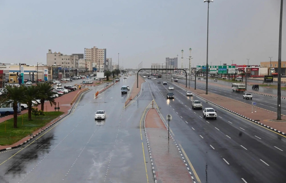
The National Center for Meteorology in Saudi Arabia issued its daily weather forecast for Saturday, indicating continued weather fluctuations across large parts of the country. The report predicted light rain and fog formation, along with surface winds stirring up dust and sand in 11 regions, urging caution.
Details of the expected weather conditions
According to the center's statement, the impact of active winds stirring up dust and sand is expected to continue, leading to reduced horizontal visibility. This phenomenon will affect parts of the Tabuk, Al-Jawf, and Northern Borders regions. Its effects will also extend to parts of the Hail, Qassim, Riyadh, and Eastern Province regions. Authorities have advised drivers on highways in these areas to exercise caution due to the potential decrease in visibility.
Conversely, there remains a chance of light rain, with the possibility of fog forming during the night and early morning hours over the highlands of Jazan, Asir, Al-Baha, and Makkah regions. These weather conditions add to the beauty of the southwestern highlands but also require caution while driving on the winding mountain roads.
Climate context and the importance of forecasts
These weather fluctuations are part of the seasonal changes that the Arabian Peninsula experiences. The climate of Saudi Arabia, characterized by its diversity due to its vast area and varied topography, exhibits significant variations in temperature and weather patterns from one region to another. Accurate forecasts issued by the National Center of Meteorology play a vital role in the daily planning of citizens and residents, in addition to their importance to critical sectors such as transportation, agriculture, and air and maritime navigation.
Warnings about dust storms are of particular importance from both a health and environmental perspective. From a health standpoint, asthma and respiratory patients are advised to avoid going out in such conditions as much as possible. As for public safety, the Civil Defense Directorate frequently issues warnings based on weather reports to protect lives and property, especially concerning traffic safety and maritime navigation.
Sea conditions and navigation
Red Sea
Surface winds over the Red Sea are expected to be northeasterly to southeasterly, shifting to southwesterly and then northwesterly during the afternoon, with speeds ranging from 14-34 km/h over the northern and central parts. Over the southern part, winds will be southeasterly to southerly at speeds of 15-35 km/h, potentially reaching 50 km/h towards the Bab el-Mandeb Strait. Wave heights will range from half a meter to one and a half meters, potentially reaching two meters or more towards the strait, resulting in a slight to moderate sea state, becoming choppy in the south.
Arabian Gulf
In the Arabian Gulf, surface winds will be southeasterly to easterly at 15-35 km/h in the northern and central parts, potentially exceeding 45 km/h with the formation of thunderstorms and rain. In the southern part, winds will be westerly to southwesterly at 10-25 km/h. Wave heights will range from 1 to 2 meters in the northern and central parts, and from half a meter to 1 meter in the southern part, resulting in moderate sea conditions in the north and central regions and slight sea conditions in the south.