In a significant advancement in remote sensing, a research team from Russia's Reshetnikov University has announced the development of innovative software designed to improve the accuracy of satellite imagery of Earth's surface. This new technology addresses one of the major challenges in analyzing satellite imagery: optical distortions caused by the Earth's topography and the angle at which sunlight strikes the Earth.
Historical context of satellite imagery challenges
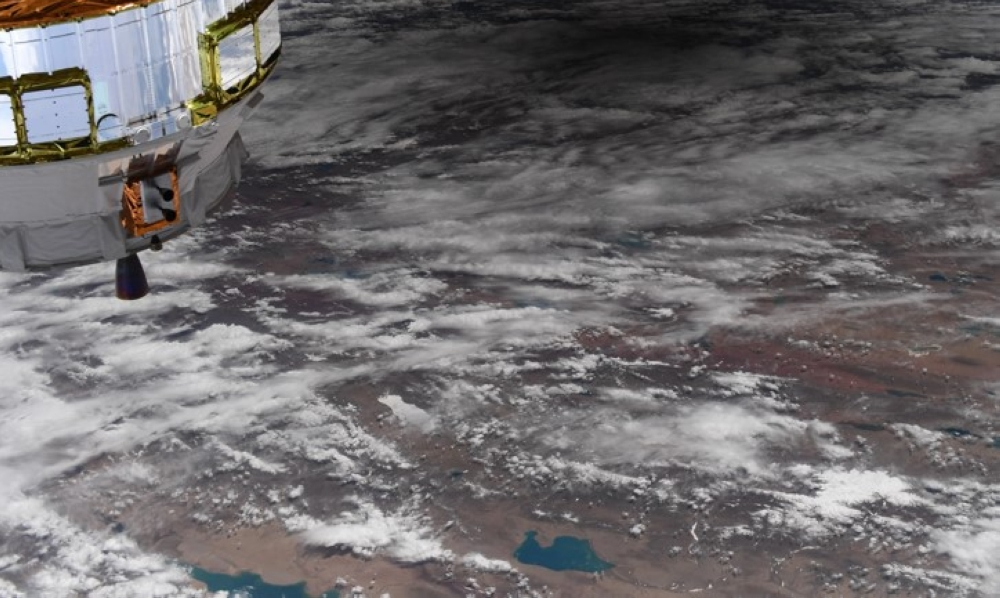
Since the launch of the first Earth-observing satellite, such as the American Landsat series in the 1970s, scientists and engineers have continuously strived to improve the quality and accuracy of data obtained from space. Despite the tremendous advancements in sensor capabilities, some challenges remain, most notably the effects of atmospheric and topographical features. Rugged terrain, such as mountains and hills, causes radiation distortions; sunlit slopes appear unrealistically bright, while shaded areas appear excessively dark, hindering automated data analysis and impacting the accuracy of the resulting findings.
How the new technology works and its importance
The university explained in a statement that the new software solutions rely on advanced mathematical models to correct these topographic distortions. The algorithms process each pixel in the image to adjust its brightness based on the slope's angle and orientation relative to the sun. This precise processing makes the images more realistic and consistent, facilitating more accurate interpretation by artificial intelligence systems and experts. The direct impact of this technology is a radical improvement in the quality of satellite data analysis, opening new horizons in multiple vital fields.
Wide applications and regional and international impacts
The new software provides more accurate information on vegetation cover, soil type, forest condition, and crop yields. At the local and regional levels, this precise data can support precision agriculture by monitoring plant health and estimating crop yields, thus contributing to food security. It also plays a pivotal role in natural disaster management, enabling a more accurate assessment of damage caused by forest fires and floods, and effectively guiding relief and recovery efforts. Furthermore, this technology supports urban planning and land-use decisions for sustainable development. Internationally, this innovation represents a significant contribution to global efforts to monitor climate change, such as tracking deforestation and land degradation, and reinforces Russia's position as an influential player in the space technology and advanced data sectors.