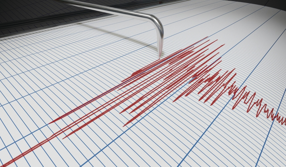
This morning, the Peruvian coast experienced a strong earthquake measuring 6.2 on the Richter scale, which caused a state of anticipation in the region. However, the competent authorities rushed to reassure the residents that there were no immediate threats of tsunami waves.
Details of the earthquake and its location
The European-Mediterranean Seismological Centre (EMSC) reported that the earthquake's epicenter was located approximately 94 kilometers southeast of the coastal city of Trujillo. The tremor occurred at an average depth of between 30 and 66 kilometers below the Earth's surface, a depth typically classified as shallow to moderate, meaning it is often felt by the population but may be less destructive than much shallower earthquakes.
Despite the strength of the tremor, no official reports have yet been received of casualties or serious material damage to infrastructure, nor have any international or local warnings been issued regarding the possibility of a tsunami, which has eased the anxiety of residents in coastal areas.
Peru and the Ring of Fire: An Important Geological Context
Earthquakes are not uncommon in Peru, as the country lies geographically within the Pacific Ring of Fire. This region is a vast arc stretching 40,000 kilometers, characterized by intense seismic and volcanic activity, where approximately 90% of the world's earthquakes occur.
These earthquakes are mostly caused by the movement of tectonic plates, specifically the subduction of the oceanic Nazca Plate beneath the continental South American Plate. This constant friction between the plates generates enormous energy that is suddenly released in the form of earthquakes, keeping Andean countries like Peru and Chile on constant alert for natural disasters.
Increased seismic activity and its types
This earthquake comes at a time when the world has witnessed a significant increase in earthquake-related news since the beginning of 2025, with strong tremors exceeding magnitude 6 being recorded in various regions of Asia, South America, and the Mediterranean basin. To understand the nature of these phenomena, scientists classify earthquakes into three main types:
- Tectonic earthquakes: These are the most common and destructive, and they occur as a result of the movement and sliding of continental plates across geological faults.
- Volcanic earthquakes: These are directly related to volcanic eruptions and the movement of magma in the Earth's interior.
- Induced earthquakes: These are tremors resulting from human intervention in nature, such as the construction of huge dams, hydraulic fracturing operations for oil and gas extraction, and construction blasting.
Geological studies indicate that the annual rate of major earthquakes (magnitude 7 and above) has remained relatively constant over the decades, but the enormous technological development in monitoring methods, and the widespread dissemination of media and social media platforms, have contributed to increasing global awareness and coverage of these events as they occur, giving the impression that their numbers are increasing.