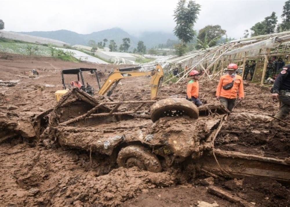
A 5.3-magnitude earthquake struck New Caledonia, an island in the southwestern Pacific Ocean, on Tuesday. The U.S. Geological Survey (USGS) reported that the quake's epicenter was at a relatively shallow depth of 10 kilometers below the sea surface. Despite the strength of the tremor, there were no immediate reports of casualties or significant damage, and no tsunami warning was issued.
Geological context: New Caledonia at the heart of the Ring of Fire
This earthquake further underscores the geologically active nature of New Caledonia, which lies directly on the Pacific Ring of Fire. The Ring of Fire, a horseshoe-shaped zone stretching 40,000 kilometers around the ocean, is known for containing approximately 75% of the world's active volcanoes and experiencing nearly 90% of the Earth's earthquakes. This intense activity is a direct result of the movement and collision of tectonic plates. New Caledonia specifically lies at the edge of the Australian Plate, where it meets and slides beneath the Pacific Plate—a process known as subduction. This subduction generates immense pressure, which is released as frequent earthquakes.
The importance and expected impact of seismic activity
Earthquakes of magnitude 5 to 5.9 are considered moderate and can cause minor to moderate damage to poorly constructed buildings, especially when their epicenters are close to the surface, as in this case. However, communities in this region, including New Caledonia and neighboring countries such as Vanuatu and Fiji, have developed a high degree of resilience and preparedness for these natural phenomena. This preparedness includes the implementation of strict building codes designed to withstand earthquakes, as well as sophisticated early warning systems, particularly regarding the risk of tsunamis that may follow stronger earthquakes occurring beneath the ocean floor.
At both the regional and international levels, every earthquake in this region presents an opportunity for scientists and geologists to gather valuable data that helps to better understand tectonic plate dynamics and improve seismic hazard prediction models. Although this particular earthquake caused no damage, it serves as a constant reminder of the underlying natural forces that shape our planet and the ongoing need to strengthen infrastructure and emergency response plans in areas prone to such geological hazards.