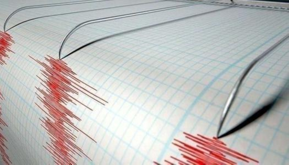
Geological monitoring stations recorded a new event today in Russia's Far East, as earthquake the Kamchatka Peninsula, highlighting the region's volatile geological nature. The Unified Geophysical Service of the Russian Academy of Sciences in Kamchatka confirmed the earthquake's precise detection, noting the ongoing tectonic activity in this part of the world.
Details of the earthquake and its geographical location
According to data released by the agency, the epicenter of the earthquake was in the Pacific Ocean off the coast, specifically 235 kilometers from Petropavlovsk-Kamchatsky, the administrative capital and largest city of the region. The earthquake's depth was determined to be 41 kilometers below the Earth's surface. While this depth is considered moderate, it often reduces the immediate destructive impact compared to shallower earthquakes. There were no immediate reports of significant property damage or casualties in populated areas.
History of the Kamchatka earthquake and the Ring of Fire
The Kamchatka earthquake is not a rare event, as the region lies within the Pacific Ring of Fire, a vast arc of seismic and volcanic activity encircling the ocean basin. Historically, the Kamchatka Peninsula has been one of the most geologically active areas on Earth, where the Pacific Plate meets the Okhotsk Plate. This constant collision of tectonic plates makes the region prone to frequent and powerful earthquakes.
Scientists always recall the devastating 9.0 magnitude earthquake that struck the region in 1952, triggering massive tsunamis that impacted a wide area of the Pacific Ocean. The current tremor comes amid ongoing seismic activity, with data indicating significant activity in the region and comparisons to previous major earthquakes, making the study of these tremors crucial for understanding the dynamics of the Earth's crust.
Geophysical significance and effects of aftershocks
The importance of monitoring such earthquakes, even moderate ones, lies in providing accurate data that helps scientists predict future activity and assess tsunami risks. Since the previous major earthquakes, scientists have been recording aftershocks almost daily in the region. Although most of these tremors are not felt by residents of populated areas, they serve as a vital indicator of the release of energy stored in the Earth's layers. Russia continues to prioritize the development of early warning systems in Kamchatka and the Kuril Islands to protect the population and infrastructure from any potentially devastating geological surprises.