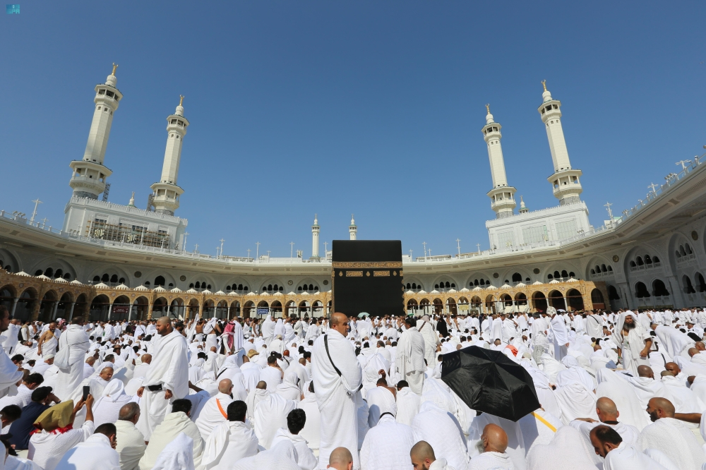
A qualitative leap in serving the guests of God
The General Authority for the Care of the Two Holy Mosques announced the launch of a smart interactive mapping system, a significant step forward in providing spatial guidance services to millions of visitors and pilgrims. Engineer Ghazi bin Dhafer Al-Shahrani, CEO of the Authority, explained that this system aims to facilitate the movement of pilgrims and enhance the efficiency of guidance within the Two Holy Mosques by providing real-time information and updated routes that ensure their safety and improve the quality of their spiritual experience.
Historical context and digital transformation
This initiative is part of the Kingdom of Saudi Arabia's ongoing efforts to enhance services at the Two Holy Mosques. For decades, managing massive crowds, particularly during Hajj and Ramadan, has posed a significant logistical challenge. With the launch of Saudi Vision 2030, the adoption of modern technologies and digital transformation has accelerated across all sectors, including those serving pilgrims. These smart maps represent a practical application of the Vision's objectives, leveraging artificial intelligence and data analytics to deliver innovative solutions that benefit the pilgrims.
Smart system details
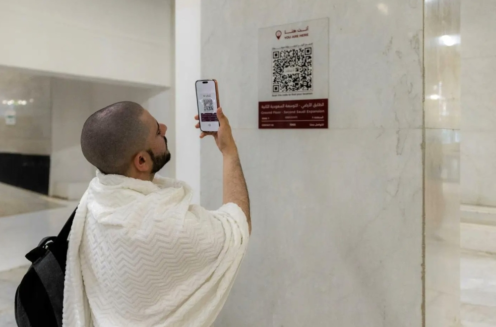
During the launch ceremony, attended by Dr. Mohammed Al-Saqr, Executive Vice President of Digital Transformation, the advanced features of the system were showcased. The maps are part of an integrated digital system fed by live operational data from the control rooms, allowing visitors to be dynamically guided to the most suitable route, especially in areas of high crowds or temporary closures. Dr. Al-Saqr stated that the pilot phase, which began last Ramadan, integrates with the "Color Coding and Metric Addressing" system, which divides the Two Holy Mosques into clearly defined geographical zones to facilitate smart operations. He noted that the system currently includes:
- More than 950 points of interest distributed across 13 service categories.
- Over 650 Quick Response (QR) Codes to facilitate access to information.
- Technical capability to generate more than 100,000 dynamic tracks that are automatically optimized.
Importance and expected impact
The impact of this project extends beyond the local level, reaching millions of Muslims worldwide. Interactive maps are expected to reduce instances of people getting lost, facilitate access to their destinations for the elderly and people with disabilities, and expedite emergency response. Engineer Wahib Al-Mutrafi, Director of Business Solutions at the Authority, confirmed that the maps support location-based reporting and accelerate the arrival of field teams, thus enhancing operational efficiency and improving service quality. This pilot launch represents a cornerstone of a multi-year development project, with new use cases to be added by 2026, further solidifying the Kingdom's position as a leader in leveraging technology to serve the Two Holy Mosques.