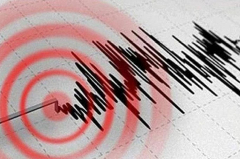
A moderate earthquake measuring 5.1 on the Richter scale struck Bengkulu, a city in western Sumatra, Indonesia, today, according to the U.S. Geological Survey and local seismic monitoring centers in Southeast Asia.
Official data from geological agencies indicated that the earthquake's epicenter was located 54 kilometers below the Earth's surface. While earthquakes of this depth and magnitude are typically felt by residents and can cause widespread panic, no official reports of casualties or significant damage to infrastructure in the city or surrounding areas have been received so far.
Indonesia and the Ring of Fire: A Complex Geological Context
This event is not unusual for the Indonesian archipelago, as the entire country lies within the Pacific Ring of Fire. This region is a vast arc stretching 40,000 kilometers, encompassing hundreds of volcanoes and geological fault lines that encircle the Pacific Ocean basin. It is characterized by extremely intense seismic and volcanic activity, accounting for approximately 90% of the world's earthquakes.
These earthquakes are caused by the continuous and complex movement of tectonic plates, where the Indo-Australian Plate slides beneath the Eurasian Plate. This dynamic movement makes Indonesia one of the most disaster-prone regions in the world, with thousands of earthquakes recorded annually, ranging from minor tremors that go unnoticed to devastating ones that alter the landscape.
The seismic history of Sumatra and the importance of preparedness
The island of Sumatra, where today's earthquake occurred, holds a special and sensitive place in global seismic history. Throughout its history, the island has experienced very powerful earthquakes, most notably the devastating 2004 earthquake that triggered massive tsunamis affecting several countries. While today's 5.1 magnitude earthquake is not comparable to those major events and does not pose a tsunami risk, it serves as a constant reminder of the need for preparedness and vigilance.
Indonesian authorities, represented by the Meteorology, Climatology, and Geophysics Agency (BMKG), are continuously working to develop early warning systems and educate the public on how to react during earthquakes to minimize risks. Experts typically advise residents in coastal and mountainous areas to be cautious of aftershocks that may follow the main earthquake, even if less powerful, as these can trigger landslides in fragile areas.
The international community and global observatories are following seismic activity in Indonesia with great interest, given its potential impact on shipping and the regional economy in Southeast Asia in the event of major disasters, making the monitoring and documentation of even moderate earthquakes essential for understanding the behavior of tectonic plates in that vital region of the world.