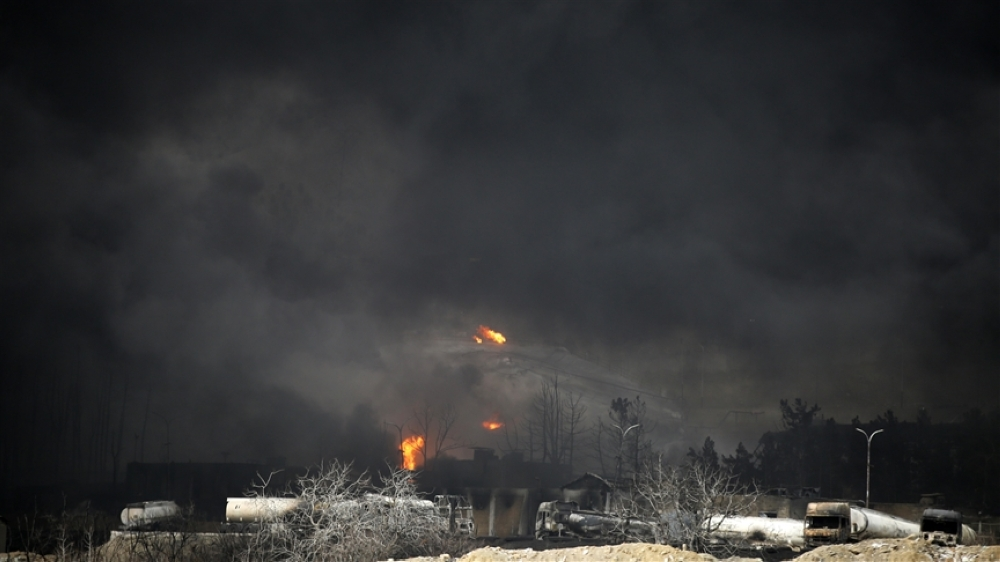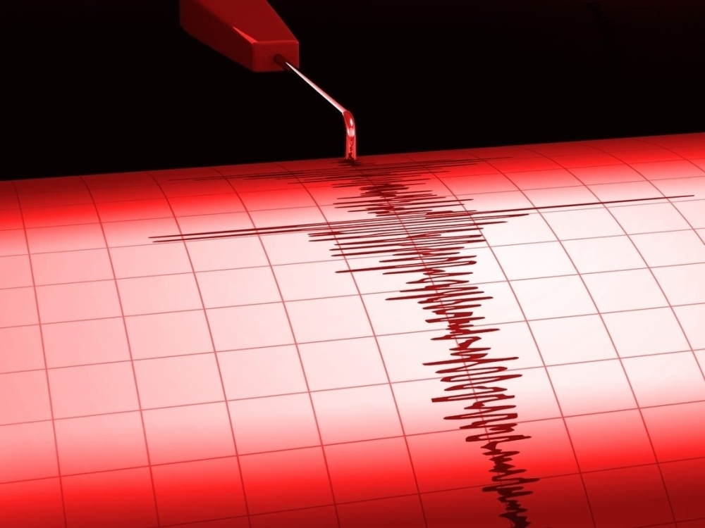
A powerful earthquake struck western Indonesia, specifically off the coast of Sumatra, on Thursday morning. Global seismological agencies recorded a magnitude of 6.6 on the Richter scale. While the event raised concerns due to the region's seismically active history, initial data offered reassurance regarding the risk of a tsunami.
Earthquake details and epicenter
According to the U.S. Geological Survey (USGS), the earthquake struck at 11:56 a.m. local time (04:56 GMT). The epicenter was located near Simeulue , northwest of Sumatra. Technical data indicated the earthquake occurred at a depth of 25 kilometers.
This depth (25 km) is classified as a relatively shallow earthquake, which is usually felt more strongly by residents than deeper earthquakes, as the seismic energy travels a shorter distance to the surface. Despite the strength of the tremor, the agency did not issue any immediate tsunami warnings, which eased concerns among local residents and authorities.
Indonesia and the "Ring of Fire": An Important Geological Context
Earthquakes are not uncommon in Indonesia; they are part of the archipelago's geological makeup. Indonesia lies directly on the Pacific Ring of Fire, a vast arc stretching 40,000 kilometers, characterized by intense volcanic and seismic activity due to tectonic plate movement .
Earthquakes in this region are often caused by the collision of the Indo-Australian and Eurasian plates. This constant friction and immense pressure between the plates leads to sudden releases of energy, causing tremors of varying intensity. The island of Sumatra, in particular, is considered one of the most seismically active regions in the world.
Historical significance and safety measures
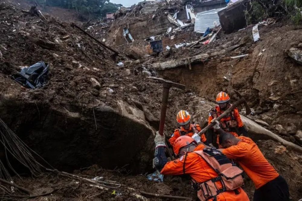
The region has a painful history of earthquakes, most notably the devastating 2004 earthquake that triggered the Indian Ocean tsunami. However, Indonesia has since developed early warning systems and strengthened awareness among local populations, particularly on islands like Simeulue, whose inhabitants possess a cultural heritage of how to cope with the receding sea levels before a tsunami.
Experts confirm that today's earthquake, despite its magnitude of 6.6, remains within the range that modern infrastructure can handle, especially given the absence of a tsunami threat. Local authorities and international monitoring agencies continue to monitor the situation for any aftershocks that may follow the main earthquake, a routine procedure in such cases to ensure the safety of citizens and property.