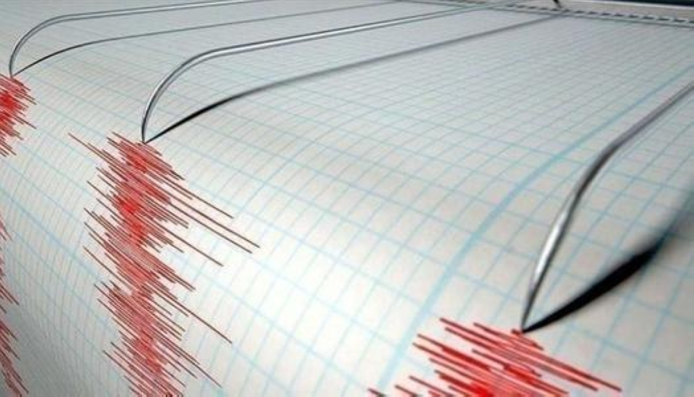
A 5 magnitude earthquake struck southwestern Pakistan's Balochistan province today, causing concern among local residents, although there were no immediate reports of casualties or serious material damage.
The Pakistan Meteorological Department and Geological Survey reported in an official statement that the epicenter of the earthquake was located near the Baloch city of Barkhan, noting that the tremor occurred at an average depth of 30 kilometers below the Earth's surface. Local authorities are currently surveying areas near the epicenter to ensure the safety of infrastructure and residential buildings, particularly in remote villages that may be more vulnerable to moderate tremors.
Geological context and seismic activity in Pakistan
Pakistan lies in a seismically active region, situated along major fault lines formed by the collision of the Indian and Eurasian tectonic plates. This geographical location makes the country, particularly its northern and western regions like Balochistan, prone to frequent earthquakes ranging from minor to devastating. The constant pressure resulting from the northward movement of the Indian plate and its collision with the Eurasian plate leads to a buildup of energy in the Earth's crust, which is then suddenly released in the form of earthquakes.
A history of earthquakes in Balochistan
This tremor evokes painful memories for the region's inhabitants, as Balochistan has experienced devastating earthquakes in the past. Perhaps the most notable was the 2013 earthquake that struck the Awaran region with a magnitude of 7.7, killing hundreds, destroying thousands of homes, and even creating a small mudflat off the coast of Gwadar. The recurrence of such events underscores the importance of ongoing preparedness and the development of earthquake-resistant building codes in these vital areas.
Simultaneous seismic activity in Indonesia
In related news regarding today's global seismic activity, Pakistan was not the only country to experience tremors. Monitoring stations recorded another earthquake measuring 5.1 on the Richter scale, which struck the city of Bengkulu in western Sumatra, Indonesia. According to the US Geological Survey, the epicenter of this earthquake was located at a depth of 54 kilometers. Indonesia is also a seismic hotspot due to its location within the Pacific Ring of Fire, indicating significant tectonic activity in Asia in recent hours.
Authorities in the affected areas are urging citizens to exercise caution, follow public safety guidelines, and stay away from cracked buildings in anticipation of any aftershocks that may occur in the coming hours.