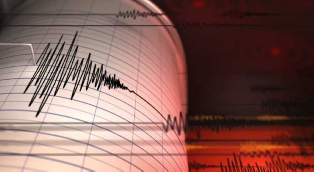
Global seismic monitoring stations recorded significant seismic activity in the South Pacific today, with a 5.3 magnitude earthquake striking south of Fiji. This event is part of the ongoing tectonic activity in this geologically vital region.
Earthquake details and geological survey data
The U.S. Geological Survey (USGS), the world's leading authority on earthquake monitoring, reported that the epicenter of the earthquake was precisely located south of the Fiji archipelago. Technical data indicated that the earthquake occurred at a depth of 23.5 kilometers below the sea surface. While this depth is considered relatively shallow to moderate, which might have caused tremors to be felt by residents on nearby islands, a magnitude of 5.3 is generally classified as a moderate earthquake that does not typically cause widespread damage to modern infrastructure.
The context of the "Ring of Fire" and its geological background
This event cannot be separated from its strategic geographical location; the Fiji Islands lie at the heart of the Pacific Ring of Fire. This region is a vast arc stretching 40,000 kilometers, characterized by extremely intense seismic and volcanic activity. Geological studies indicate that approximately 90% of the world's earthquakes, and 80% of the largest earthquakes, occur along this ring.
These earthquakes are caused by the continuous movement of tectonic plates, where the Pacific Plate meets the Australian Plate in this region, generating immense pressure in the Earth's crust that is released as earthquakes of varying intensity. Thanks to its location, Fiji serves as a natural laboratory for geologists to study Earth's dynamics.
Expected effects and safety measures
Although the earthquake measured 5.3 on the Richter scale, no immediate tsunami warnings were issued by the Pacific Tsunami Warning Center. Destructive tsunamis typically require earthquakes of magnitude 7.0 or greater occurring at specific depths that displace the water column.
As of the time of this report, there have been no official reports of significant casualties or material damage in the nearby islands. It is worth noting that Pacific island nations, including Fiji, have developed building codes and safety standards over the decades that are adapted to the seismic nature of the region, thus reducing the risks posed by moderate earthquakes.
Scientific importance and continuous monitoring
Experts confirm that monitoring such moderate earthquakes is of great scientific importance, as it helps release the energy stored between tectonic plates, which can sometimes reduce the likelihood of sudden, catastrophic earthquakes. International centers continue to closely monitor the situation to ensure the safety of the population and maritime navigation in this vital region of the world.