Papua New Guinea, located in the southwestern Pacific Ocean, experienced a new geological event on Wednesday, with stations from the Global Seismic Network recording a moderate earthquake. This event further underscores the geologically active nature of this region, which is one of the most tectonically active areas on Earth.
Details of the earthquake and its location
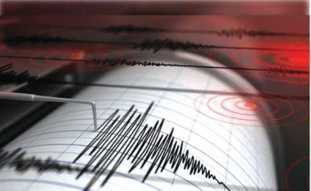
The U.S. Geological Survey (USGS), the world's leading authority on earthquake monitoring, announced that a 4.7 magnitude earthquake struck the region. The epicenter was precisely located 193 kilometers southeast of Kokopo, the capital of Eastern British New Guinea province.
Technical data released by the agency indicated that the earthquake occurred at a depth of only 10 kilometers below the Earth's surface. Geologists classify earthquakes at this depth as "shallow earthquakes," which are often felt more strongly by residents than deeper earthquakes due to the proximity of the released energy source to the surface. However, a magnitude of 4.7 is generally considered to be within the moderate range and is unlikely to cause significant structural damage to modern buildings.
Papua New Guinea and the "Ring of Fire"
This event cannot be separated from the region's overall geographical and geological context; Papua New Guinea lies at the heart of what is known as the "Ring of Fire." This ring is a vast, horseshoe-shaped area stretching along the Pacific coast, approximately 40,000 kilometers in length.
This region is characterized by extremely intense seismic and volcanic activity. Scientific studies indicate that the "Ring of Fire" accounts for approximately 90% of the world's earthquakes, and that 75% of the Earth's active and dormant volcanoes are located within its boundaries. This region is also the meeting point of several major tectonic plates, resulting in constant movement and collision of the Earth's crust.
Tectonic background and its effects
Geologically, Papua New Guinea lies in a complex collision zone between the Australian and Pacific Plates. These plates move slowly but with tremendous force, and when they rub against each other or one subducts beneath the other (in what are known as subduction zones), pressure builds up in the rock layers until they reach a breaking point, causing a sudden release of energy in the form of seismic waves.
Given its sensitive geographical location, the region's inhabitants are accustomed to frequent earthquakes. Although today's 4.7 magnitude earthquake is not classified as a destructive one, it falls within the routine activity that international observatories are monitoring cautiously, fearing it could be a precursor to larger activity or an indication of broader tectonic movements.
Potential risks and safety measures
In such cases, local authorities and warning centers monitor the situation to ensure there is no risk of a tsunami. Earthquakes below magnitude 7 do not usually generate a destructive tsunami unless accompanied by underwater landslides. As of the time of this report, there have been no reports of significant casualties or material damage, which is to be expected with earthquakes of this moderate magnitude and in areas that may be relatively far from densely populated urban centers.