A minor earthquake struck northeastern Sicily, Italy, on Sunday, alerting residents and local authorities. This was the latest seismic activity in the geologically active region. According to official reports, no casualties or damage to buildings or infrastructure were reported.
Details of the earthquake in Messina
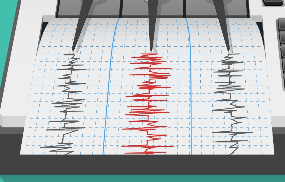
Italy's National Institute of Geophysics and Volcanology (INGV) confirmed that the earthquake measured 4.0 on the Richter scale. The epicenter was precisely located, just two kilometers from the town of Melitiello Rosmarino in the province of Messina, in the northeastern part of the island. The tremor was recorded at 2:54 PM local time (1:54 PM GMT).
Local media reports, including one published by the newspaper Il Mattino, indicated that the tremor was clearly felt by residents throughout the Messina region, causing some concern. However, authorities quickly reassured the public that no landslides or injuries had been reported. The affected area lies directly north of the Nebrodi National Park, the largest protected natural area in Sicily, and features diverse mountainous terrain.
Geological context and tectonic activity
To understand the nature of this event, one must consider the geological context of Sicily and the Mediterranean region in general. Italy, and Sicily in particular, lies at a complex junction between the African and Eurasian tectonic plates. This constant collision of plates makes southern Italy one of the most seismically and volcanically active regions in Europe.
The African Plate is slowly moving northward, generating immense pressure that typically manifests as frequent earthquakes or volcanic activity, as seen in the famous Mount Etna volcano near the earthquake site and Stromboli volcano in the Aeolian Islands. Therefore, earthquakes of magnitude 4 and above are relatively common in the region's geological records, and the National Institute of Geophysics monitors this activity around the clock to ensure the safety of the population.
History of earthquakes in Messina
The province of Messina has a history of earthquakes, which explains the constant state of alert among residents and authorities whenever a tremor occurs. Historically, the region experienced one of the most devastating earthquakes in modern European history in 1908, which destroyed the cities of Messina and Reggio Calabria. Although the recent tremor, measuring 4 on the Richter scale, is relatively minor and pales in comparison to such major historical events, it serves as a constant reminder of the importance of adhering to earthquake-resistant building standards and maintaining constant emergency preparedness in this vital region of the Mediterranean.