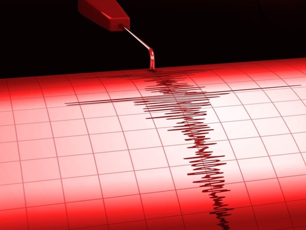
The Indonesian coast experienced strong seismic activity, as a violent earthquake measuring 7.1 on the Richter scale struck off the coast of the Talod Islands, prompting a state of alert and continuous monitoring by the competent authorities to detect any possible consequences of this geological event.
Earthquake details and Indonesian meteorological data
According to the Indonesian Meteorology, Climatology, and Geophysics Agency (BMKG), the earthquake occurred yesterday, with its epicenter located at a relatively shallow depth of 17 kilometers, which typically increases the strength felt by residents. Official data indicates that the epicenter was located 52 kilometers southeast of Melongwan, the capital of the Talud Islands Regency in North Sulawesi province.
The earthquake's coordinates were precisely located at 3.64 degrees north latitude and 126.98 degrees east longitude. Following the main tremor, the agency issued serious warnings to citizens and residents in the surrounding areas about the possibility of aftershocks, urging everyone to exercise caution and stay away from damaged buildings.
Indonesia and the "Ring of Fire": A Recurring Geological Context
This event is not unusual for the Indonesian archipelago, as the country lies geographically and geologically within the Pacific Ring of Fire. This region is a broad arc of volcanoes and fault lines that encircle the Pacific Ocean basin, making Indonesia one of the most earthquake- and volcanic-prone countries in the world.
These earthquakes are caused by the continuous movement of tectonic plates, where the Indo-Australian Plate meets the Eurasian Plate and the Pacific Plate. This constant friction and collision of plates generates enormous energy that is released in the form of earthquakes ranging in intensity from mild to devastating, posing ongoing challenges to the country's infrastructure and early warning systems.
Simultaneous seismic activity in the region
In a related development concerning seismic activity in the region, monitoring stations recorded another earthquake measuring 6.7 on the Richter scale, striking an area 240 kilometers northwest of Tobelo, Indonesia. The U.S. Geological Survey indicated that this earthquake occurred at a depth of 76 kilometers, at the coordinates 3.70 degrees north latitude and 127.10 degrees east longitude.
These successive events underscore the importance of continuous monitoring of geological bulletins, as modern monitoring systems play a vital role in reducing risks and protecting lives by providing accurate and rapid data on the location and strength of earthquakes as soon as they occur.