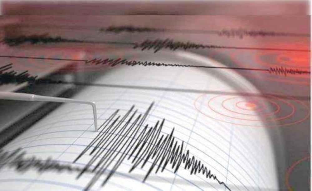
A geological event struck Khorasan Razavi province in eastern Iran today, with an earthquake measuring 4.1 on the Richter scale, causing concern in the region. The epicenter was located in the Sefid Sang area of Fariman County, a region known for its intermittent seismic activity.
According to official data from the Seismological Center of the Geophysics Institute at Tehran University, the earthquake occurred at the scheduled time, with its epicenter located at a depth of 9 kilometers. This depth is considered relatively shallow in seismological terms, meaning that residents in areas near the epicenter may feel the tremor more strongly compared to deeper earthquakes. However, its destructive impact depends largely on the nature of the buildings and infrastructure.
As of the time of this report, no official reports of significant human or material losses resulting from the earthquake have been received. Typically, in such cases, Iranian Red Crescent teams and crisis management teams conduct immediate field surveys of villages and towns surrounding the epicenter to ensure the safety of residents and assess any potential damage to older or rural buildings.
Iran and the earthquake belt: a geological context
Iran is one of the most earthquake-prone countries in the world due to its complex geography, situated atop several major fault lines. The country lies at the collision of tectonic plates, specifically between the Arabian and Eurasian plates. This constant pressure and geological movement results in frequent seismic activity, making earthquakes a common occurrence in various Iranian provinces, from north to south and east to east.
Historically, Iran has experienced devastating earthquakes that caused significant losses, prompting authorities to tighten building codes in major cities. However, rural and remote areas still face challenges regarding the resistance of buildings to earthquakes, especially those with shallow epicenters like today's earthquake.
Frequent seismic activity
This earthquake is not an isolated event. Last October, seismic observatories recorded another earthquake that struck Fars province in southern Iran, measuring 4.7 on the Richter scale. That quake resulted in minor injuries to three people and was centered in the city of Sepidan at a depth of 6 kilometers, confirming the continued tectonic activity in the Iranian plateau and the diversity of seismic hotspots between the east and south of the country.