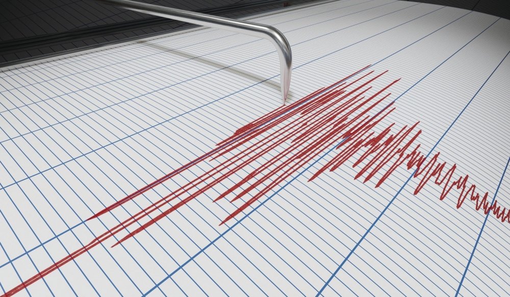
ضرب زلزال بقوة 4.3 درجات على مقياس ريختر اليوم إقليم بلوشستان جنوب غرب باكستان، مما أثار قلق السكان المحليين في منطقة معروفة بنشاطها الزلزالي المرتفع. وأفادت دائرة الأرصاد والمسح الجيولوجي الباكستانية أن مركز الهزة الأرضية كان على عمق ضحل يبلغ 12 كيلومترًا، بالقرب من مدينة “خُضدار”، وهي منطقة حيوية في الإقليم. ورغم أن السلطات المحلية سارعت إلى طمأنة الجمهور بعدم ورود أي أنباء فورية عن وقوع خسائر في الأرواح أو أضرار مادية جسيمة، إلا أن الحادث يسلط الضوء مجددًا على المخاطر الجيولوجية الكامنة التي تواجهها باكستان.
السياق الجيولوجي: لماذا باكستان منطقة زلازل؟
تقع باكستان، وخاصة إقليم بلوشستان، عند نقطة التقاء جيولوجية حرجة بين الصفيحة التكتونية الهندية والصفيحة الأوراسية. هذا التصادم المستمر منذ ملايين السنين هو السبب الرئيسي في تكوين سلاسل الجبال الشاهقة مثل الهيمالايا وكركورم، وهو أيضًا ما يجعل المنطقة واحدة من أكثر المناطق عرضة للزلازل في العالم. ويمر عبر الإقليم “صدع شامان”، وهو أحد أكبر الصدوع التحويلية النشطة، والذي يمتد لمئات الكيلومترات، مما يجعله مصدرًا محتملاً لهزات أرضية عنيفة. إن النشاط الزلزالي المستمر هو جزء من الواقع اليومي للمنطقة، حيث يتم تسجيل هزات خفيفة إلى متوسطة بشكل متكرر.
تاريخ من الهزات المدمرة
يمتلك إقليم بلوشستان تاريخًا طويلاً ومؤلمًا مع الزلازل المدمرة. ولعل أبرز كارثة في الذاكرة هي زلزال كويتا عام 1935، الذي بلغت قوته 7.7 درجة ودمر المدينة بالكامل، وأودى بحياة ما يقدر بنحو 60 ألف شخص، ليصبح أحد أكثر الزلازل فتكًا في تاريخ جنوب آسيا. وفي تاريخ أحدث، ضرب زلزال مدمر بقوة 7.7 درجة منطقة آواران في بلوشستان عام 2013، مما أسفر عن مقتل المئات وتشريد عشرات الآلاف، بل وتسبب في ظهور جزيرة صغيرة مؤقتة قبالة ساحل جوادر نتيجة لانبعاثات طين الميثان. هذه الأحداث التاريخية تؤكد على حجم الخطر الذي يمثله النشاط الزلزالي في هذه المنطقة.
التأثير المتوقع وأهمية الاستعداد
على الرغم من أن زلزال اليوم كان متوسط القوة ولم يسفر عن أضرار، إلا أنه يعمل بمثابة تذكير حيوي بأهمية التأهب والاستعداد للكوارث. فالمناطق الريفية في بلوشستان غالبًا ما تتكون من مبانٍ طينية أو هياكل غير معززة هندسيًا، مما يجعلها شديدة التأثر بالهزات القوية. كما أن الطبيعة الجغرافية الوعرة للإقليم تشكل تحديًا كبيرًا أمام وصول فرق الإنقاذ والإغاثة في حالات الطوارئ. وتعمل الهيئة الوطنية لإدارة الكوارث في باكستان (NDMA) بالتعاون مع المراكز الجيولوجية على مراقبة النشاط الزلزالي وتطوير خطط الاستجابة، ولكن التحدي يظل قائمًا في تطبيق معايير البناء المقاومة للزلازل وتوعية المجتمعات المحلية بكيفية التصرف أثناء وبعد وقوع الزلزال.