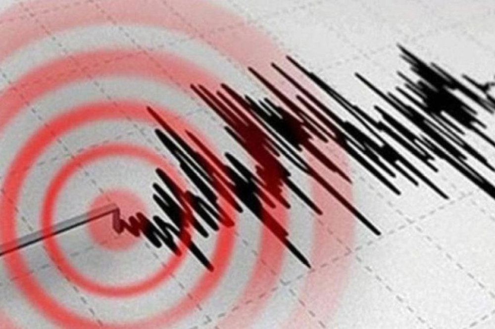
The U.S. Geological Survey recorded a moderate earthquake in Alaska, measuring 5.0 on the Richter scale. Official data from the agency indicated that the epicenter was located approximately 250 kilometers east of Chiniak, at a relatively shallow depth of 8.7 kilometers, which may have made the tremor more noticeable to residents despite its lack of destructive power.
So far, no official reports have been received of casualties or material damage to infrastructure as a result of this earthquake, which is typical in many moderate tremors that strike this region, which has low population density in some parts.
Alaska and the Ring of Fire: An Important Geological Context
Earthquakes are not uncommon in Alaska, as the state lies on the Pacific Ring of Fire. This region is a long arc of volcanoes and oceanic trenches, and it is a meeting point for several major tectonic plates. The friction between the Pacific Plate and the North American Plate, and their subsequent subduction, generates enormous energy that is released in the form of continuous seismic and volcanic activity.
Historically, Alaska has been one of the most seismically active regions in the world. Perhaps the most striking evidence of this is the 1964 "Great Alaska Earthquake," the second most powerful earthquake ever recorded. This keeps authorities and residents of the state constantly on alert and well-versed in how to deal with such natural disasters, which explains the relatively low casualties from moderate tremors.
The pace of seismic activity is increasing globally
This earthquake comes at a time when the world has been experiencing significant seismic activity since the beginning of 2025, with earthquakes being recorded almost daily in various regions. Observers note the intensity of some of these tremors and the diversity of their geographical locations, with monitoring stations recording powerful earthquakes exceeding 6 on the Richter scale in areas including Asia, South America, and the Mediterranean basin.
Types of earthquakes and their causes
In the context of geological awareness, scientists classify earthquakes based on their main causes into several types, which helps in understanding the nature of each event:
- Tectonic earthquakes: These are the most common and occur as a result of the movement of tectonic plates and their sudden sliding along faults and fractures in the earth.
- Volcanic earthquakes: These are directly related to volcanic activity, as the movement of magma in the Earth's interior generates vibrations that precede or accompany volcanic eruptions.
- Induced earthquakes: These are tremors resulting from human activities and human interference in nature, such as the construction of large dams that put pressure on the Earth's crust, or the extraction of natural resources such as oil and gas, and construction blasting.
Geological studies indicate that the annual rate of major earthquakes (magnitude 7 and above) has remained relatively stable over the past decades. However, the tremendous development in media and modern monitoring technologies, along with the proliferation of social media platforms, has significantly contributed to increased public awareness and the rapid dissemination of news, creating the impression of a rise in the number of earthquakes, while the actual increase is often concentrated in less powerful earthquakes, sometimes linked to human activity.