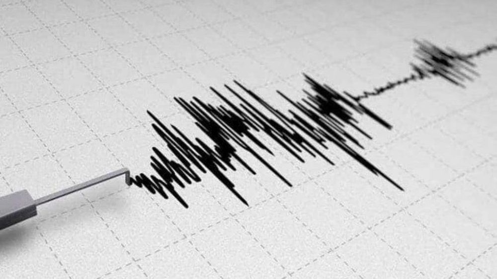
The Republic of Argentina witnessed a new geological event today, as an earthquake measuring 5.6 on the Richter scale struck the province of “Santiago del Estero” located in the north of the country, which prompted a state of anticipation and close monitoring by global and local geological monitoring centers.
Details of the earthquake and its location
According to data from specialized earthquake monitoring websites, the epicenter was located in the Sarmiento department. Specifically, the earthquake occurred approximately 38 kilometers northwest of the city of Anatoya. This area is part of the Santiago del Estero province, which is characterized by its unique geological features.
So far, there have been no official reports of casualties or significant damage to infrastructure in areas near the epicenter. Local authorities and civil defense teams typically conduct a thorough survey of affected areas in such cases to ensure the safety of residents and buildings.
Geological context and seismic activity in Argentina
To understand the nature of this event, one must consider Argentina's geological context. The country lies in a seismically active region due to the interaction of tectonic plates, specifically the subduction of the oceanic Nazca Plate beneath the continental South American Plate. This ongoing geological process is the primary driver of the formation of the Andes Mountains and the associated seismic and volcanic activity in the western part of the continent.
The province of Santiago del Estero is characterized by being the scene of a special type of earthquake known as “deep earthquakes.” Although today’s earthquake was of moderate intensity, the history of the region indicates frequent seismic activity ranging from light to moderate, and rarely destructive compared to coastal areas or those located directly on the main fault line.
The importance of monitoring and the regional impact of the event
Monitoring such earthquakes is of paramount importance not only locally, but also regionally and internationally. Argentina, as part of the Latin American countries bordering or near the Pacific Ring of Fire (although located on the eastern side of the Andes), contributes seismic data to improving prediction models and understanding the dynamics of the Earth's crust.
Locally, these events serve to test the readiness of infrastructure and early warning systems. While a magnitude 5.6 earthquake is considered moderate and may not cause widespread destruction, it serves as a constant reminder of the need to adhere to earthquake-resistant building standards, which Argentina strictly enforces in its building codes, particularly in the northern and western provinces.
Monitoring centers continue to track any possible aftershocks that may follow the main earthquake, a natural phenomenon that usually occurs as the Earth's layers release latent energy. Experts always advise residents in nearby areas to stay informed of official instructions in the hours following the event.