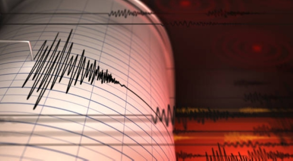
A 5.1-magnitude earthquake struck the US state of Alaska on Tuesday, prompting cautious concern in a region known for its high seismic activity. The USGS, the nation's primary source of seismic information, reported that the quake's epicenter was at a relatively shallow depth of 35 kilometers (25 miles). As of now, there have been no official reports of casualties or significant damage.
Alaska is in the heart of the seismic Ring of Fire
This earthquake serves as a reminder of Alaska's unique geological makeup, situated along the Pacific Ring of Fire. This region is a vast arc stretching thousands of kilometers and is characterized by the highest seismic and volcanic activity in the world, accounting for approximately 90% of global earthquakes. This activity is due to the movement of tectonic plates, where the Pacific Plate meets the North American Plate and slides beneath it, generating immense pressure that is released as frequent earthquakes. As a result, Alaska experiences thousands of earthquakes annually, most of which are minor and go unnoticed by residents, yet it remains the most earthquake-prone state in the United States.
A history of powerful earthquakes and scientific significance
Alaska's historical memory is scarred by devastating earthquakes, most notably the 9.2 magnitude Good Friday earthquake of 1964, the strongest earthquake ever recorded in North America and the second strongest in world history. This earthquake caused widespread destruction and triggered massive tsunamis that claimed the lives of more than 130 people. Since that disaster, monitoring and early warning systems have been significantly improved, and building standards have been tightened to make structures more resistant to earthquakes.
Although today's 5.1 magnitude earthquake is classified as "moderate," it holds significant scientific importance for geologists. Every earthquake, regardless of its magnitude, provides valuable data that helps scientists better understand tectonic plate movement and assess future seismic hazards. This data contributes to updating hazard maps and improving prediction models, thereby enhancing the ability of local communities to prepare for potential natural disasters in this geologically unstable region.